Photogrammetry & 3D Modeling
Photogrammetry & 3D Modeling
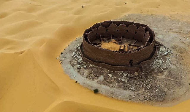
Reconstructing heritage in its finest details through digital technologies.
- Photogrammetric surveys carried out by drone or professional camera.
- Use of Agisoft Metashape software to create accurate and usable 3D models.
- Precise mapping of architectural elements, archaeological sites, or heritage objects.
- Virtual reconstruction for research, restoration, museum displays, or tourism promotion.
- Creation of interactive tours or immersive models for institutions or exhibitions.
- Documentation of conservation status over time (temporal monitoring).
- Collaboration with architects, conservators, geomaticians, and archaeologists.